
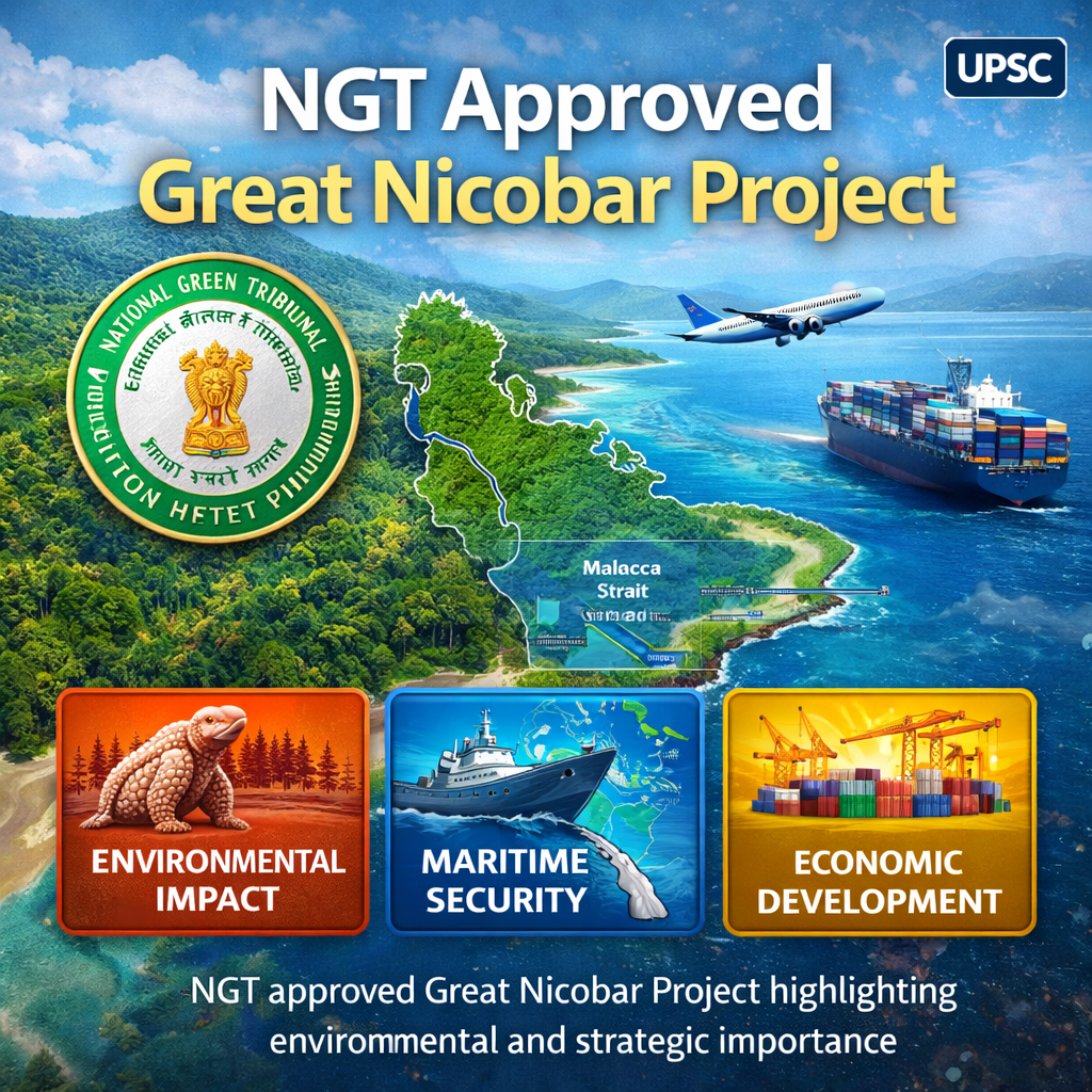
NGT Approved Great Nicobar Project
Table of Contents
Relevance:
GS Paper II: Governance, Environmental Regulation, Tribal Rights, Strategic Affairs
GS Paper III: Infrastructure, Environment & Biodiversity, Disaster Management, Maritime Security
For Prelims:
- Great Nicobar Island (GNI), National Green Tribunal (NGT), Island Coastal Regulation Zone (ICRZ), International Container Transhipment Terminal (ICTT), Galathea Bay, Campbell Bay National Park, Great Nicobar Biosphere Reserve, Shompen, Nicobarese, AAJVS, UNCLOS
For Mains:
- Sustainable Development, Strategic Infrastructure, Maritime Security, Indo-Pacific Strategy, Biodiversity Hotspot, Tribal Safeguards, Compensatory Afforestation, Coastal Regulation, Ecological Governance
Why in News?
The National Green Tribunal (NGT) has upheld the environmental clearance granted to the ₹80,000–81,000 crore Great Nicobar Island Project, stating that there were “adequate safeguards” and no “good ground” to interfere.
The tribunal also recognised the strategic importance of the project, marking a significant development in the debate between national security objectives and environmental protection.

What is the Great Nicobar Project?
- Background:
The Great Nicobar Island (GNI) Project, conceptualised by NITI Aayog and launched in 2021, is a large-scale infrastructure initiative designed to transform the southernmost island of the Andaman and Nicobar Islands into a major strategic and economic hub. The project aligns with India’s Maritime Vision 2030 and the broader Amrit Kaal Vision 2047. - Project Scope:
Development is planned across Galathea Bay, Pemmaya Bay, and Nanjappa Bay. Owing to its strategic location—nearly equidistant from Colombo (Sri Lanka), Port Klang (Malaysia), and Singapore—the island occupies a central position in regional maritime trade routes. - Major Infrastructure Components:
- International Container Transshipment Terminal (ICTT):
Intended to position Great Nicobar as a key node in the regional and global shipping network by facilitating cargo transshipment. - Greenfield International Airport:
Aimed at boosting civilian connectivity and tourism, while also offering dual-use defence capabilities. - Greenfield Township:
Planned to accommodate the anticipated population growth and associated economic activities. - Gas and Solar-Based Power Plant:
Designed to fulfil the energy demands of the proposed infrastructure.
- International Container Transshipment Terminal (ICTT):
- Tribal Safeguards:
The project mandates consultations with tribal welfare institutions, including the Andaman Adim Janjati Vikas Samiti (AAJVS) and the Ministry of Tribal Affairs, in accordance with the Jarawa (2004) and Shompen (2015) Policies. Additionally, consultation with the National Commission for Scheduled Tribes (NCST) under Article 338A(9) ensures protection of tribal rights and interests. - Environmental Measures:
The proposal incorporates eight wildlife corridors to ensure safe movement of fauna. As part of mitigation efforts, compensatory afforestation for trees cleared under the project is planned in Haryana, given that the island already maintains over 75% forest cover.

Strategic Importance of the Great Nicobar Project
- Control Over Key Maritime Gateways:
Great Nicobar lies close to the Malacca, Sunda, and Lombok Straits, which are among the busiest sea lanes connecting the Indian and Pacific Oceans. This geographical advantage enables India to oversee vital maritime routes that carry a significant portion of global trade and energy supplies.- Its proximity to Sabang Port (Indonesia) and the proposed Kra Canal (Thailand) further elevates its importance within the broader Indo-Pacific strategic landscape.
- Strengthening Maritime Surveillance Capabilities:
The project enhances India’s Maritime Domain Awareness (MDA) by improving its ability to monitor naval activity in the Indian Ocean Region (IOR). This is particularly relevant amid China’s expanding naval presence and the reported military infrastructure development on Myanmar’s Coco Islands, located near India’s Andaman & Nicobar chain. - Forward Defence Positioning:
The Andaman and Nicobar Islands function as India’s strategic maritime outpost, sharing sea boundaries with Myanmar, Thailand, Indonesia, and Bangladesh.- This positioning strengthens India’s control over its vast Exclusive Economic Zone (EEZ) and continental shelf rights as provided under the UNCLOS, 1982.
- Enhanced Military Preparedness and Deterrence:
Development under the project allows for the stationing of larger naval platforms, advanced aircraft, missile systems, and additional troops, thereby reinforcing India’s deterrence capability and operational readiness in the Indo-Pacific theatre. - Reducing Dependence on Foreign Ports:
The proposed International Container Transshipment Terminal (ICTT) aims to minimise India’s reliance on external ports such as Singapore and Colombo for cargo transshipment, thereby integrating India more firmly into global maritime trade networks.
Concerns Associated with the Great Nicobar Project
1. Impact on Indigenous Communities
- The project raises fears of displacement of the Nicobarese tribal community, whose ancestral lands were already severely affected by the 2004 Indian Ocean tsunami.
- The proposed development may disrupt traditional habitation patterns, livelihoods, and cultural identity rooted in the island ecosystem.
2. Environmental and Ecological Risks
Large-Scale Deforestation:- Approximately 130 sq km of primary tropical rainforest (around 15% of the island’s land area) is proposed for diversion.
- The scale of tree felling could exceed 10 million trees, threatening a fragile island ecosystem.
- The project site overlaps with critical habitats, including areas once part of the Galathea Bay Wildlife Sanctuary, known for leatherback sea turtle nesting.
- Denotification of protected zones has intensified conservation concerns.
- Petitions have claimed that nearly 700 hectares fall within prohibited zones under the Island Coastal Regulation Zone (ICRZ) Notification, 2019, where development is restricted.
- Forest diversion is proposed to be offset through afforestation in Haryana and Madhya Pradesh, which critics argue cannot substitute the ecological complexity of Nicobar’s endemic rainforest biodiversity.
3. Geological and Disaster Vulnerability
- The island’s substratum—comprising sandstone, limestone, shale, and volcanic formations—is highly seismic.
- The region is prone to earthquakes, liquefaction, and tsunamis, raising questions about long-term infrastructural stability.
4. Legal and Procedural Issues
- The Shekhar Singh Commission (2002) had recommended a strict ban on tree felling in tribal reserves and national parks, along with prior afforestation requirements.
- Concerns persist regarding compliance with these earlier judicial safeguards.
Measures to Ensure Long-Term Sustainability
1. Ecological Safeguards
- Explore innovative legal approaches such as granting legal personhood status to the Great Nicobar ecosystem to prioritise ecological integrity.
- Establish continuous ecological monitoring for coastal erosion, carbon emissions, biodiversity health, and soil stability, with adaptive mitigation measures.
2. Protection of Tribal Rights
- Develop culturally sensitive rehabilitation frameworks reflecting pre-tsunami habitation patterns.
- Ensure mandatory consultation and participation of Tribal Councils in decision-making, in line with the Forest Rights Act, 2006.
3. Institutional Transparency
- Constitute an independent multi-stakeholder oversight body including environmental scientists, tribal representatives, and government officials to monitor compliance with safeguards.
4. Sustainable Development Pathways
- Promote green employment avenues such as renewable energy, sustainable tourism, and low-impact maritime activities.
- Align development with India’s biodiversity conservation goals and climate commitments.
Conclusion
The National Green Tribunal’s clearance of the Great Nicobar Project reflects an attempt to reconcile strategic imperatives with environmental safeguards. However, the true test lies in implementation. Robust ecological protection, meaningful tribal consultation, and transparent institutional oversight are essential to ensure that national development does not result in irreversible ecological and cultural loss.
UPSC PYQ
Q. Consider the following statements: (2018)
- The Barren Island volcano is an active volcano located in the Indian territory.
- Barren Island lies about 140 km east of Great Nicobar.
- The last time the Barren Island volcano erupted was in 1991 and it has remained inactive since then.
-
- 1 only
- 2 and 3
- 3 only
- 1 and 3
- Barren Island is India’s only active volcano.
- It is located in the Andaman & Nicobar Islands in the Bay of Bengal.
- Barren Island is situated about 135 km northeast of Port Blair (Andaman Islands).
- It is not located 140 km east of Great Nicobar (which lies much further south).
- Although a major eruption occurred in 1991, the volcano has erupted multiple times afterward (including eruptions in 2005, 2017, 2018, and later phases).
- Hence, it has not remained inactive since 1991.
CARE MCQ
Q. Which among the following island pairs are separated by the Ten Degree Channel?
- Andaman and Nicobar
- Nicobar and Sumatra
- Maldives and Lakshadweep
- Sumatra and Java
- Eight Degree Channel: This channel forms the maritime boundary between India and the Maldives. It lies between Minicoy Island (India) and the Maldives.
- Nine Degree Channel: It separates Minicoy Island from the rest of the Lakshadweep group of islands.
- Ten Degree Channel: It divides the Andaman Islands from the Nicobar Islands in the Bay of Bengal.