
Table of Contents
Relevance: APPSC Andhra Pradesh Geography, Coastal Economy, Fisheries, Disaster Management
For Prelims:
- Shoreline Management Plan, National Centre for Coastal Research, Coastal Erosion, Accretion, Stable Shoreline, Coringa Mangroves, Hope Island, Pulicat Lake, Sriharikota, Krishna Delta
For Mains:
- Coastal vulnerability, ecosystem-based protection, beach nourishment, dune restoration, river-mouth management, fishing communities, climate resilience
Why in News?
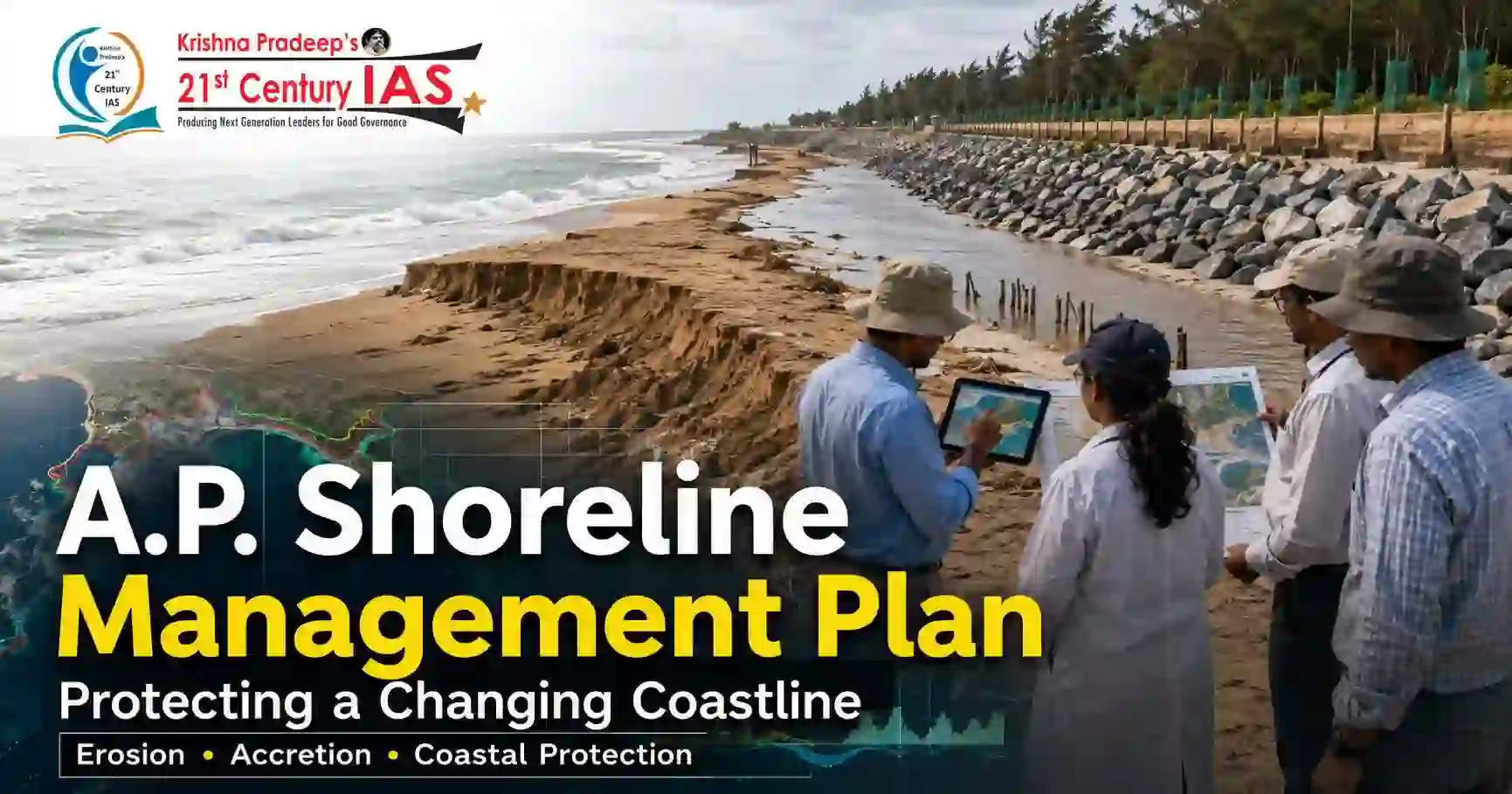
The Centre has identified vulnerable coastal stretches along Andhra Pradesh’s 1,027-km coastline and prepared a Shoreline Management Plan to protect areas affected by shoreline changes. The National Centre for Coastal Research (NCCR) mapped erosion, accretion and stable shoreline stretches using satellite data from 1990 to 2022.
What is Shoreline Change?
Shoreline change refers to the movement or alteration of the coastline over time due to natural processes and human activities.
1. Coastal Erosion
- Sea waves, tides and currents remove land from the coast.
- It can threaten settlements, roads, ports, beaches and livelihoods.
2. Accretion
- Sediments get deposited along the coast.
- It can alter river mouths, beach profiles and coastal ecosystems.
3. Stable Shoreline
- The coastline remains relatively unchanged over a period.
For a coastal state like Andhra Pradesh, shoreline change is important because many fishing villages, ports, river mouths, mangroves and coastal settlements are located close to the sea.
Key Findings for Andhra Pradesh
The NCCR assessment shows that shoreline change is uneven across districts.
| District / Region | Key Finding |
| Kakinada | Worst affected; 52.99% of its coastline under erosion |
| West Godavari | 52.54% erosion |
| Krishna | 42.71% erosion |
| Srikakulam | 32.14% erosion |
| Visakhapatnam | 26.85% erosion |
| Vizianagaram | Only 3.26% erosion, but high accretion |
The assessment found Kakinada to be the most erosion-affected district. Important vulnerable zones in this district include the Godavari River mouth spit near Yanam, Coringa mangroves and Hope Island.
Vulnerable Coastal Stretches Identified
The government has identified several vulnerable locations across Andhra Pradesh.
Kakinada Region
- Coringa-Uppada coast
- Godavari River mouth spit near Yanam
- Coringa mangroves
- Hope Island
Tirupati District
- Pulicat Lake
- Sriharikota
Krishna District
- Machilipatnam Beach
- Krishna delta
Srikakulam District
- Kalingapatnam
- Vamsadhara river mouth
- Nagavali river mouth
Visakhapatnam District
- Yarada
- Bheemunipatnam
These sites are important because they include ecologically sensitive zones, river mouths, beaches, fishing settlements and strategic coastal infrastructure.
Shoreline Management Plan for Andhra Pradesh
The Ministry of Earth Sciences has prepared a Shoreline Management Plan based on site-specific studies.
1. Beach Nourishment
Sand is added to eroding beaches to restore beach width and reduce direct wave impact.
2. Dune Restoration
Natural sand dunes are restored because they act as protective barriers against storms and sea erosion.
3. Ecosystem-Based Protection
Mangroves, wetlands and natural coastal systems are protected to strengthen coastal resilience.
4. Engineering Interventions
Hard structures may be used where natural measures are insufficient, depending on local conditions.
5. River Mouth and Delta Management
Special attention is given to river mouths and deltas where sediment movement changes shoreline stability.
Key Location-Specific Proposals
1. Coringa-Uppada Coast
Resilience measures are proposed for the erosion-prone Kakinada coast.
2. Sriharikota
Coastal protection works are planned for this vulnerable and strategically important stretch.
3. Krishna Delta
Integrated management is proposed to address deltaic shoreline changes.
4. Vamsadhara and Nagavali River Mouths
Inlet management is proposed to manage sediment flow and erosion risk.
5. Bheemunipatnam Coast
Resilience planning is proposed for the Visakhapatnam coastal stretch.
Basis of the Study
The vulnerability assessment used:
- Satellite data from 1990 to 2022
- 2011 Census data to assess exposed communities
- Geomorphological studies to understand landforms and coastal processes
- Stakeholder inputs to identify ground-level risks
The study identified fishing villages, ports and ecologically sensitive areas as among the most vulnerable locations.
Conclusion
The Shoreline Management Plan for Andhra Pradesh provides a scientific framework to deal with erosion, accretion and coastal vulnerability. By combining ecosystem-based protection, beach nourishment, dune restoration, inlet management and selective engineering measures, the plan can protect livelihoods, infrastructure and sensitive ecosystems along the AP coast. Its success will depend on careful implementation and community participation.
CARE MCQ
Q. Consider the following pairs regarding vulnerable coastal stretches in Andhra Pradesh:
| District / Region | Vulnerable Location |
| 1. Tirupati | Pulicat Lake and Sriharikota |
| 2. Krishna | Machilipatnam Beach |
| 3. Srikakulam | Kalingapatnam |
| 4. Visakhapatnam | Yarada and Bheemunipatnam |
How many of the above pairs are correctly matched?
(a) Only one
(b) Only two
(c) Only three
(d) All four
Answer: (d) All four
Explanation
- Pair 1 is correct: Pulicat Lake and Sriharikota are vulnerable stretches in Tirupati district.
- Pair 2 is correct: Machilipatnam Beach has been identified in Krishna district.
- Pair 3 is correct: Kalingapatnam is a vulnerable stretch in Srikakulam district.
- Pair 4 is correct: Yarada and Bheemunipatnam are vulnerable stretches in Visakhapatnam district.
Therefore, all four pairs are correctly matched.
FAQs
1. What is shoreline erosion?
It is the wearing away of coastal land by sea waves, tides and currents.
2. What is accretion?
It is the deposition of sediments along the coast.
3. Which agency mapped AP shoreline changes?
The National Centre for Coastal Research.
4. Which district is worst affected by erosion?
Kakinada.
5. What is the purpose of the Shoreline Management Plan?
To manage erosion, accretion and coastal vulnerability through site-specific measures.