
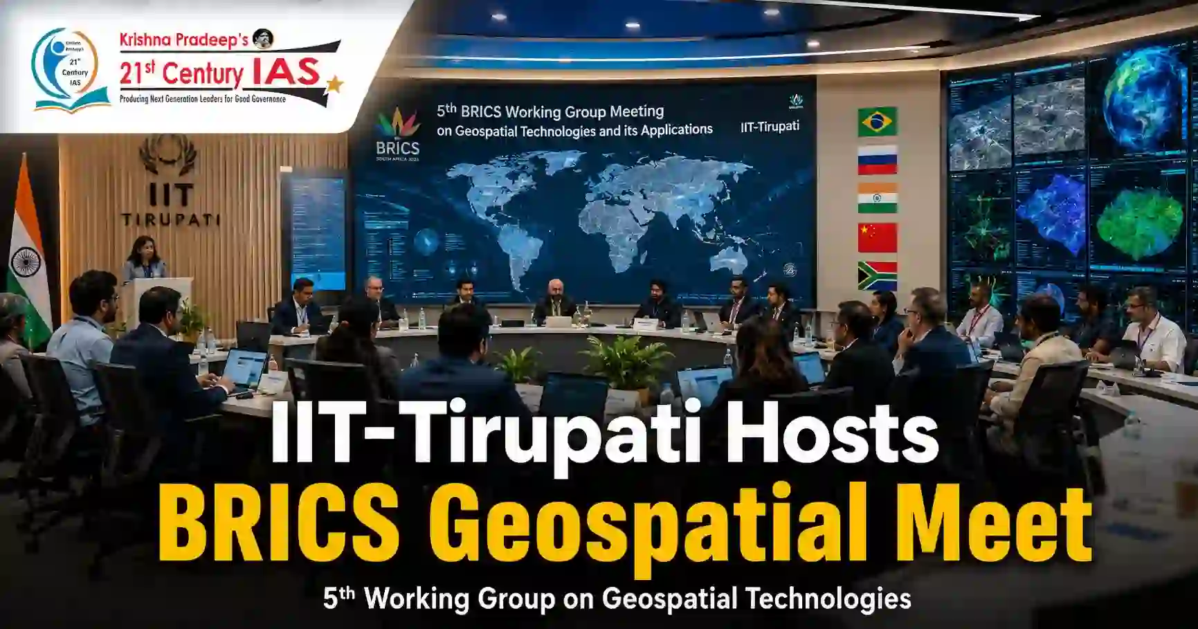
BRICS Geospatial Meeting at IIT Tirupati Explained

BRICS Geospatial Meeting hosted at IIT Tirupati on geospatial technologies

Table of Contents

Relevance: APPSC International Cooperation,

Important Keywords for Prelims and Mains

For Prelims:

  • IIT-Tirupati, BRICS Working Group, Geospatial Technologies, Navavishkar I-Hub Foundation, IITNiF, Department of Science and Technology, DST, Yerpedu Campus, Hybrid Meeting, Sustainable Development

For Mains:

  • Science diplomacy, BRICS cooperation, geospatial ecosystem, resilience, innovation, sustainability, technology for governance, climate resilience, societal challenges

Why in News?

The Indian Institute of Technology-Tirupati, in collaboration with Navavishkar I-Hub Foundation, hosted the fifth BRICS Working Group meeting on Geospatial Technologies and its Applications at its Yerpedu campus. The three-day event was organised under the aegis of the Department of Science and Technology, Government of India.

About the Meeting

The meeting focused on the role of geospatial technologies in addressing contemporary global challenges and supporting sustainable development.

It brought together:

  • Policymakers
  • Scientists
  • Academicians
  • Industry leaders
  • Startups
  • Research organisations

The event was held in hybrid mode, allowing participation from BRICS members and partner countries.

Theme and Participation

The theme of the meeting was:

  • “Building for Resilience, Innovation, Cooperation and Sustainability”
  • Delegates from Brazil, China, Egypt, Ethiopia, Indonesia, Iran, Russia, South Africa and the United Arab Emirates participated virtually.

What are Geospatial Technologies?

Geospatial technologies are tools used to collect, analyse and interpret location-based data about the Earth.

They include:

  • Remote sensing
  • Satellite imagery
  • Geographic Information System
  • Digital mapping
  • Spatial data analytics

These technologies help in better decision-making for governance, development planning and environmental management.

Significance of the Meeting

Science Diplomacy

  • The meeting strengthens cooperation among BRICS countries through science and technology.

Sustainable Development

  • Geospatial data can support planning in areas such as disaster management, agriculture, climate resilience, urban development and natural resource management.

Role of Indian Institutions

  • Hosting the event at IIT-Tirupati highlights India’s growing role as a knowledge and innovation hub.

Industry-Academia Linkage

  • Participation of startups and industry leaders can help convert geospatial research into practical applications.

BRICS Cooperation

  • The platform enables member and partner countries to share technological practices, research experience and policy approaches.

Conclusion

The fifth BRICS Working Group meeting on Geospatial Technologies hosted by IIT-Tirupati reflects the growing importance of technology-led cooperation among emerging economies. By focusing on resilience, innovation, cooperation and sustainability, the meeting reinforces the role of geospatial technologies in evidence-based governance and sustainable development.

CARE MCQ

Q. What was the theme of the fifth BRICS Working Group meeting on “Geospatial Technologies and its Applications” hosted by IIT-Tirupati?

A. Geospatial Innovation for Digital Transformation

B. Building for Resilience, Innovation, Cooperation and Sustainability

C. Space Technology for Climate Action and Global Development

D. Mapping the Future through BRICS Digital Cooperation

Answer: B

Explanation

The fifth meeting of the BRICS Working Group on Geospatial Technologies and its Applications was hosted by IIT-Tirupati at its Yerpedu campus. The three-day international event was organised under the aegis of the Department of Science and Technology (DST), Government of India.

The official theme of the meeting was “Building for Resilience, Innovation, Cooperation and Sustainability.” It reflects the role of geospatial technologies in addressing global challenges, promoting sustainable development, and strengthening international cooperation among BRICS countries.

FAQs

Q. Where was the meeting held?
It was held at IIT-Tirupati’s Yerpedu campus.

Q. What was the topic of the meeting?
Geospatial Technologies and its Applications.

Q. What was the theme?
Building for Resilience, Innovation, Cooperation and Sustainability.

Q. Which foundation collaborated with IIT-Tirupati?
Navavishkar I-Hub Foundation, also known as IITNiF.

Q. Which department supported the event?
The Department of Science and Technology, Government of India.

Q. Why is this topic important?
It links science diplomacy, BRICS cooperation and technology-based sustainable development.

 
Indiramma Housing Scheme: Hyderabad Affordable Housing
72nd National Film Awards 2024: Winners & Key Highlights

Enroll Now for Unlimited UPSC Utsav

Start Date

22/03/2026

Timings

08 AM – 4 PM

    Courses

    Scroll to Top